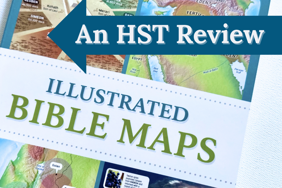


Illustrated Bible Maps: A Review

What makes a great reference book for your homeschool? If I were to make a checklist it would probably look like this:
- Ability to use it for multiple subjects
- Suitable for multiple ages
- Enhances learning about a subject
- Well organized and designed
- Colorful and engaging
I'm happy to tell you that the new Illustrated Bible Maps by Rose Publishing checks all the boxes!

The Checklist
✅ Ability to use it for multiple subjects. Perfect for complementing Bible, geography, and history, Illustrated Bible Maps includes timelines, maps, historical facts, and more. You can even use it to show young learners how to read infographics and charts.
✅ Suitable for multiple ages. I told my husband he's going to want to use this for the adult Sunday School class we teach. Simple enough for elementary students and deep enough for high schoolers—this resource really is "ageless" in both its appeal and usefulness.
✅ Enhances learning about a subject. Whether your kids are studying ancient Israel or the beginning of the church, you'll find helpful maps, photos, timelines, and diagrams all arranged chronologically from the Old to New Testament. Which bring us to the next "check" on our list.
✅ Well organized and designed. It's so important for a reference resource to be organized, and good design enhances learning instead of distracting from it. With its chronological arrangement, Illustrated Bible Maps makes finding information easy. And the layout of each page is carefully put together to not overwhelm.
✅ Colorful and engaging. Color is used for more than just making this resource look good (and it does!)—it actually helps organize the information. Beautiful full-colored maps and photos fill each section, and bite-size "call outs" on maps will help your children make connections between events, people, and places. It's the kind of book kids absolutely pore over.
The Fabulous Features
1. Illustrated Bible Maps has incredible infographics on a variety of topics. For your visual learners, this is a key feature in helping them absorb and understand the information. I think this may be my favorite part and will be using it in my own studies.

2. Fascinating facts fill the pages from introductions to "boxed" highlights. For example, in the section "Jonah's Journey" a box shows a drawing of a comparison of a 6 foot man to a whale shark. Though we don't know for sure what "fish" is being referred to in the account, the caption shares that some believe it might have been a whale.

3. Magnificent maps and full-color photos bring the places of the Bible to life, and they give insight to important Biblical facts. Let's take Jonah for example, again. When kids can see a map, they'll realize that when God told Jonah to go to Nineveh, he literally went in the opposite direction. (How often do we do the same?)

Get Illustrated Bible Maps Today!
I really can't recommend Illustrated Bible Maps enough! Investing in quality resources like this one—checking all the boxes and full of fabulous features—means you'll have a valuable reference for many years and many kids to come.